Specialized Applications
Surveying Robots
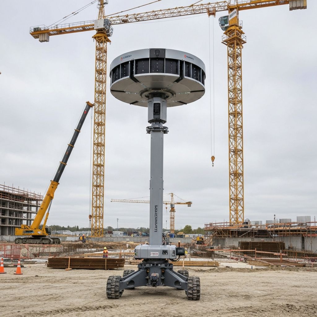
Surveyoid robots are used for land surveying, geological surveys, and construction mapping. They collect and analyze geographical data for planning and infrastructure development.
Key Abilities
- 1Geospatial Mapping: Creates 3D maps and models of terrains.
- 2Geological Surveying: Analyzes soil, rock, and terrain conditions for construction and mining.
- 3Survey Automation: Automates repetitive surveying tasks, reducing manual labor and increasing accuracy.
Tools & Sensors
- 1LIDAR & GPS: For high-precision mapping and geospatial data collection.
- 2Cameras: For visual inspection and documentation of terrains.
- 3Environmental Sensors: To detect soil properties and terrain stability.
Interested in Surveying Robots?
Contact our team to learn more about how this robot can transform your operations.
Get in Touch
Interested in Surveying Robots? Fill out the form below and our team will contact you shortly.